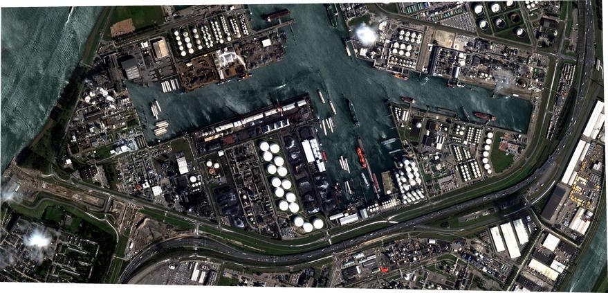
SkyWatch Space Applications, the Canadian startup whose EarthCache platform helps software developers embed geospatial data and imagery in applications, announced a partnership Oct. 5 with Picterra, a Swiss startup with a self-service platform to help customers autonomously extract information from aerial and satellite imagery.
“One of the things that has been very difficult to achieve is this ability to easily and affordably access satellite data in a way that is fast but also in a way in which you can derive the insights you need for your particular business,” James Slifierz, SkyWatch CEO told SpaceNews. “What if you can merge both the accessibility of this data with an ease of developing and applying intelligence to the data so that any company in the world could have the tools to derive insights?”
SkyWatch’s EarthCache platform is designed to ease access to aerial and satellite imagery. However, SkyWatch doesn’t provide data analysis.
Picterra is not a data provider. Instead, the company helps customers build their own machine-learning algorithms to detect things like building footprints in imagery customers either upload or find in Picterra’s library of open-source imagery.


Comments are closed.