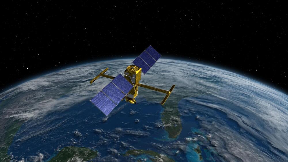
The Surface Water and Ocean Topography (SWOT) satellite launched into Earth orbit on Friday, Dec. 16, from Vandenberg Space Force Base in central California, and engineers are working to prepare the mission to begin measuring the height of water on over 90% of Earth’s surface, providing a high-definition survey of our planet’s water for the first time.
But before it can do that, the satellite would need to unfold its large mast and antenna panels (see above) after successfully deploying the solar panel arrays that power the spacecraft. The mission monitors and controls the satellite using telemetry data, but it also equipped spacecraft with four customized commercial cameras to record the action.
The solar arrays fully deployed shortly after launch, taking about 10 minutes.


Comments are closed.