Archive for the ‘satellites’ category: Page 186
Mar 1, 2016
China to conduct more than 20 satellite launches in 2016
Posted by Karen Hurst in category: satellites
(File photo)
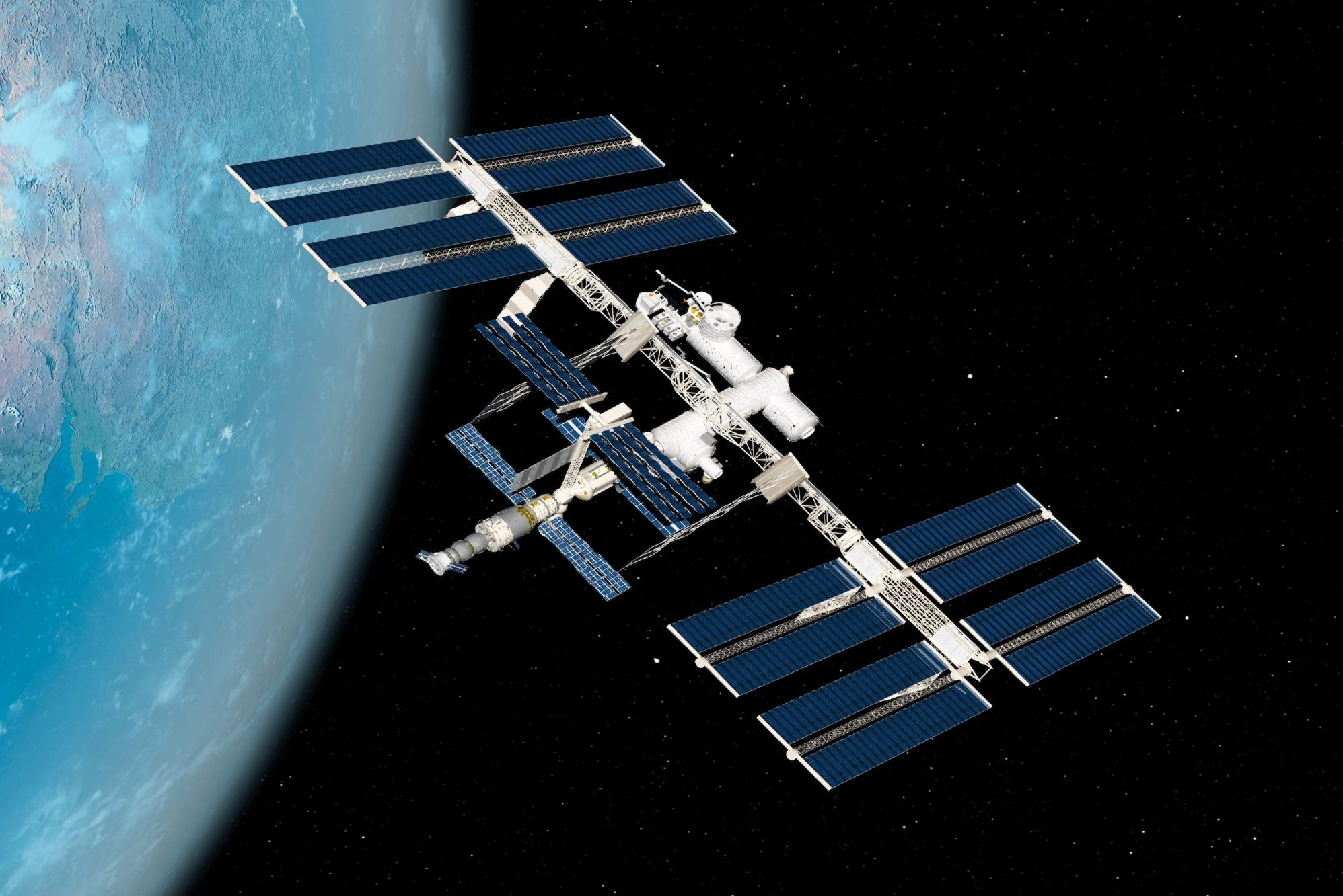
The year 2016 is a big year for China’s aerospace industry, as several rockets will be sent into space, including Tiangong-2, an orbiting space lab and Shenzhou-11, a manned spacecraft with two people on board.
Two new types of rockets will be launched in 2016. Long March-7, scheduled to be launched in June, will put the country’s first cargo ship, Tianzhou-1, into space in the first half of 2017 to dock with Tiangong-2 and conduct experiments.
Feb 26, 2016
Can SkyFi Really Give the Entire World Free Internet?
Posted by Shailesh Prasad in categories: internet, satellites, space
Wifi distribution across this planet is patchwork of crazy: You can tweet from Mt. Fuji but lord help you if you want to send an email in Cuba. Thursday, Israeli company SkyFi announced it will be the one to finally soak the world in wifi from space.
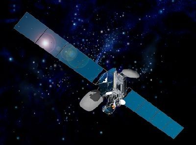
In a press release announcing $3 million in funding from Jerusalem Venture Partners and the Liberty Israel Venture Fund, the company said it would get around the problems preventing reliable wifi from traditional satellites by launching nano satellites whose 55-centimeter diameter antenna could be folded up to make launching cheaper, then expanding once in orbit.
Continue reading “Can SkyFi Really Give the Entire World Free Internet?” »
Feb 26, 2016
Israel startup SkyFi gets $3M to spread internet globally
Posted by Klaus Baldauf in categories: internet, satellites
https://youtube.com/watch?v=W0YgV1TgnF8
“We think the only way to effectively connect people all over the world is through satellites.”
Gedalyah Reback 23 hours ago.
Continue reading “Israel startup SkyFi gets $3M to spread internet globally” »
Feb 23, 2016
Can a tree grow in space?
Posted by Klaus Baldauf in categories: engineering, food, materials, satellites, space travel
Satellites and spacecraft are generally complex to build on the ground, expensive to launch and obsolete in a decade or less.
These objects end up floating in orbit around the planet contributing to the pollution surrounding the Earth. But what if there was an alternative?
That’s the question David Barnhart, director of USC’s Space Engineering Research Center and lead for the Space Systems and Technology group for the USC Information Sciences Institute, is contemplating. What if we could just “grow” spacecraft, repurpose a hybrid of inorganic and organic materials and even allow food to grow in space?
Feb 21, 2016
DigitalGlobe Partners with TAQNIA and KACST to Develop Constellation of Small Imaging Satellites
Posted by Karen Hurst in categories: business, satellites
TAQNIA and KACST signed an agreement on February 21, 2016, to form a joint venture that will be responsible for developing six or more sub-meter resolution imaging satellites.
KACST will construct, integrate, and launch the satellites, and it will own 50% of the satellites’ imaging capacity inside of KACST’s communication cone, which includes Saudi Arabia and the surrounding region. And, DigitalGlobe will have rights to the other 50% of the capacity inside this region and 100% of the satellites’ capacity outside of the region.
WESTMINSTER, Colo.–(BUSINESS WIRE)– DigitalGlobe, Inc. (NYSE: DGI), the global leader in earth imagery and information about our changing planet, today announced the formation of a joint venture with TAQNIA, a firm dedicated to accelerating technology development for the Kingdom of Saudi Arabia, in partnership with KACST to develop a constellation of highly capable small imaging satellites to support the needs of customers around the world.
Feb 20, 2016
Japan Launches Observatory To Study Black Holes And Dying Stars
Posted by Karen Hurst in categories: cosmology, satellites
Japan is studying the black holes.
This week the Japan Aerospace Exploration Agency (JAXA) successfully launched a new space observatory designed to study black holes, dying stars and the history of galaxy clusters. The X-ray Astronomy Satellite, known as ASTRO-H, will be able to detect X-rays more than 10 times fainter than its telescope predecessor, Suzaku.
Continue reading “Japan Launches Observatory To Study Black Holes And Dying Stars” »
Feb 18, 2016
ISRO is developing a nano satellite to monitor suspended particles in polluted Indian cities
Posted by Karen Hurst in categories: particle physics, quantum physics, satellites
Nano Satellite could be interesting and even expanded upon especially as we look to expand the usage of Quantum Technology across various wireless devices in the future as well as microbot technology to enable connectivity to the cloud and other wireless devices.
The nano-satellite, which is among ISRO’s important missions, will monitor air pollutants that pollute cities including Delhi, Lucknow, Amritsar and Allahabad.
The nano-satellite will weigh 15kg and placed 500 km above the earth.
Feb 15, 2016
Satellites Will Beam Super-Fast Internet Worldwide
Posted by Shailesh Prasad in categories: internet, satellites, space, transportation
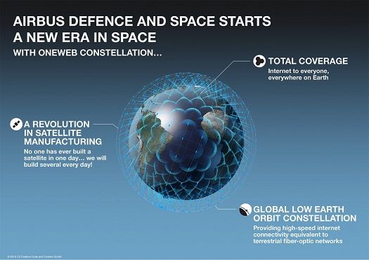
Satellites in outer space will soon provide broadband internet to some remote regions of the world, thanks to a company called ViaSat, in partnership with Boeing.
By 2019, three ViaSat satellites will dispatch a whopping one-terabit internet connection to obscure residential areas in the Americas, Asia, Europe, the Middle East, and Africa. They will also provide connectivity to airplanes in flight and even maritime vessels in the middle of the oceans, which have always previously been drastically removed from anything approaching broadband.
Presently in development at Boeing, ViaSat’s three-satellite system will reportedly offer double the capacity of all the 400 communications satellites already in orbit around the Earth combined. It’s existing technology, just re-executed to be way more efficient.
Feb 13, 2016
A New Technique Makes GPS Accurate to an Inch
Posted by Shailesh Prasad in categories: computing, information science, military, satellites, space
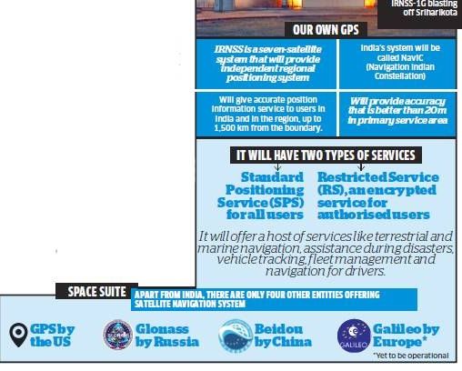
GPS is an utterly pervasive and wonderful technology, but it’s increasingly not accurate enough for modern demands. Now a team of researchers can make it accurate right down to an inch.
Regular GPS registers your location and velocity by measuring the time it takes to receive signals from four or more satellites, that were sent into space by the military. Alone, it can tell you where you are to within 30 feet. More recently a technique called Differential GPS (DGPS) improved on that resolution by adding ground-based reference stations—increasing accuracy to within 3 feet.
Now, a team from the University of California, Riverside, has developed a technique that augments the regular GPS data with on-board inertial measurements from a sensor. Actually, that’s been tried before, but in the past it’s required large computers to combine the two data streams, rendering it ineffective for use in cars or mobile devices. Instead what the University of California team has done is create a set of new algorithms which, it claims, reduce the complexity of the calculation by several order of magnitude.