Sep 24, 2021
Northrop Grumman to launch new satellite-servicing robot aimed at commercial and government market
Posted by Genevieve Klien in categories: government, robotics/AI, satellites
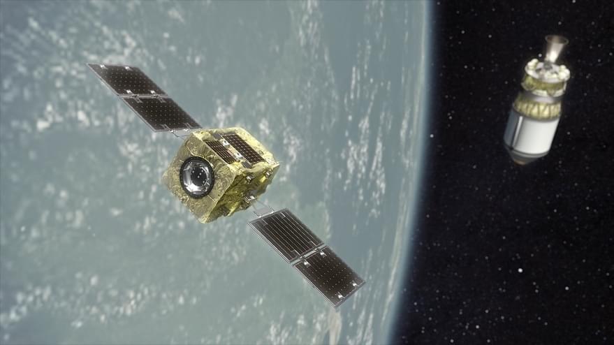
WASHINGTON — Northrop Grumman today has two Mission Extension Vehicles in orbit providing station-keeping services for two Intelsat geostationary satellites that were running low on fuel.
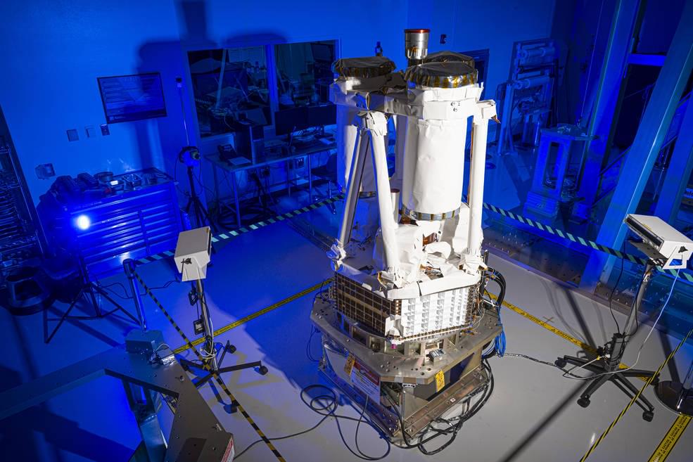
The company meanwhile is preparing to launch a new servicing vehicle equipped with a robotic arm that will install propulsion jet packs on dying satellites.
