Menu

Blog

Archive for the ‘satellites’ category: Page 95

Aug 6, 2021

When is SpaceX Starlink coming to my area? Rollout data reveals progress

Posted by in categories: internet, satellites

The space-faring firm’s satellite internet service promises connections with high speed and low latency — and data suggests the rollout pace is now increasing.

Aug 5, 2021

The Pentagon Is Experimenting With AI That Can Predict Events ‘Days in Advance’

Posted by in categories: military, robotics/AI, satellites

If you’re wondering just how advanced artificial intelligence (AI) systems are getting, then know this: the US military is testing an experimental AI network tasked with identifying likely future events worthy of closer attention, and days before they occur.

The series of tests are called the Global Information Dominance Experiments (GIDE), and they combine data from a huge variety of sources, including satellite imagery, intelligence reports, sensors in the field, radar, and more.

Cloud computing also plays an important part in this setup, making sure that vast chunks of data collected from all over the world can be processed efficiently, and then accessed by whichever military officials and agencies need them.

Aug 2, 2021

Pentagon believes its precognitive AI can predict events ‘days in advance’

Posted by in categories: government, military, robotics/AI, satellites

The US military’s AI experiments are growing particularly ambitious. The Drive reports that US Northern Command recently completed a string of tests for Global Information Dominance Experiments (GIDE), a combination of AI, cloud computing and sensors that could give the Pentagon the ability to predict events “days in advance,” according to Command leader General Glen VanHerck. It’s not as mystical as it sounds, but it could lead to a major change in military and government operations.

The machine learning-based system observes changes in raw, real-time data that hint at possible trouble. If satellite imagery shows signs that a rival nation’s submarine is preparing to leave port, for instance, the AI could flag that mobilization knowing the vessel will likely leave soon. Military analysts can take hours or even days to comb through this information — GIDE technology could send an alert within “seconds,” VanHerck said.

The most recent dry run, GIDE 3, was the most expansive yet. It saw all 11 US commands and the broader Defense Department use a mix of military and civilian sensors to address scenarios where “contested logistics” (such as communications in the Panama Canal) might pose a problem. The technology involved wasn’t strictly new, the General said, but the military “stitched everything together.”
Jul 31, 2021

238 Year-Old Technology Could Give The Best View of Space Ever

Posted by in categories: business, satellites

Up, up, and away.

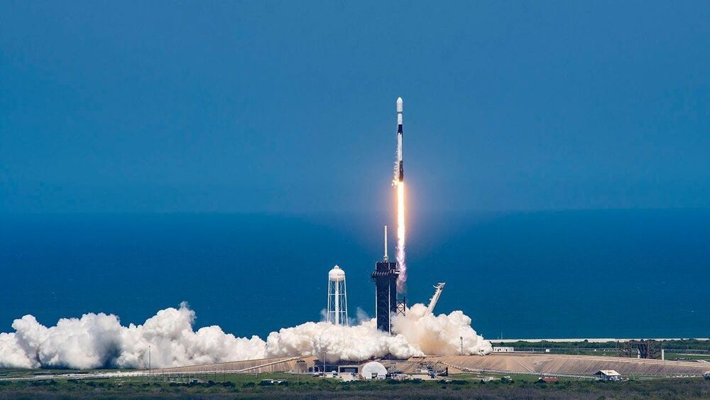
Launching satellites is an expensive business — at least for now. But satellites are necessary in astronomy for one major reason — they get telescopes above the atmosphere.

Continue reading “238 Year-Old Technology Could Give The Best View of Space Ever” »

Jul 31, 2021

Google AI Releases The Open Buildings Dataset, A New Open-Source Dataset Containing The Locations And Footprints Of >500M Buildings Across Africa

Posted by in categories: education, health, robotics/AI, satellites

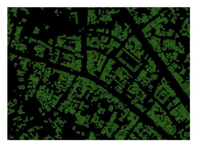
Google uses artificial intelligence technology to find millions of buildings on the satellite map that were previously difficult to locate. These can now be used for humanitarian aid or other purposes. Google utilized its building detection model (Continental-Scale Building Detection from High Resolution Satellite Imagery) to create an Open Buildings dataset, containing locations and footprints of 516 million buildings with coverage across most African continent countries.

In this data set, there are millions of buildings that have not been discovered in the past. These newly-discovered building materials will help the outside world understand African populations and where they live, facilitating health care services such as education or vaccination to their communities.

Google’s team of developers built a training set for their building detection model by manually labeling 1.75 million buildings in 100k images to make the most accurate identification possible, even when dealing with rural or urban environments that have vastly different properties and features. The need to identify what kind of dwelling place is being captured was especially difficult during scoping missions in remote areas where natural landmarks were plentiful. At the same time, dense surroundings made it hard to differentiate between multiple structures on an aerial image at once.

Jul 31, 2021

World’s first commercial re-programmable satellite blasts into space

Posted by in categories: quantum physics, satellites

The world’s first commercial fully re-programmable satellite lifted off from French Guiana on Friday on board an Ariane 5 rocket, ushering in a new era of more flexible communications.

Unlike conventional models that are designed and “hard-wired” on Earth and cannot be repurposed once in orbit, the Eutelsat Quantum allows users to tailor the communications to their needs—almost in .

The satellite will be placed in orbit some 36 minutes after the launch.

Jul 20, 2021

Air Force satellite completes two-year experiment to study the medium Earth orbit environment

Posted by in category: satellites

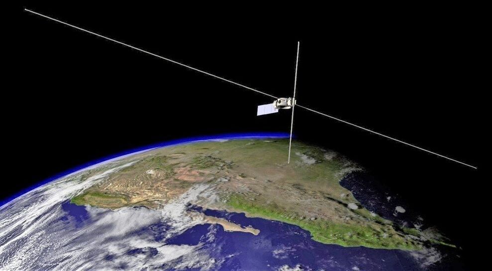
AFRL completed a two-year space experiment that will help better understand the effects of radiation on space hardware in medium Earth orbit.


WASHINGTON — The U.S. Air Force Research Laboratory announced July 19 it has completed a two-year experiment that will help better understand the effects of radiation on space hardware in medium Earth orbit.

Known as the Demonstration and Science Experiments (DSX) mission, the spacecraft was one of 24 payloads launched June 25, 2019, on a SpaceX Falcon Heavy rideshare.

Continue reading “Air Force satellite completes two-year experiment to study the medium Earth orbit environment” »

Jul 18, 2021

Astronomers push for global debate on giant satellite swarms

Posted by in category: satellites

Now, in what would be the biggest international step yet towards addressing these concerns, diplomats at a United Nations forum next month might discuss whether humanity has a right to ‘dark and quiet skies’. The debate could initiate a framework for how scientists and the public would deal with the flood of new satellites — with many more expected.


Working with the United Nations, scientists hope to establish standards for satellite ‘megaconstellations’ and reduce disruption of astronomical observations.

Jul 15, 2021

SpaceX: How Mars “spy satellite” creator tracked Elon Musk’s Tesla Roadster

Posted by in categories: Elon Musk, satellites, sustainability

An engineer who helped develop a camera for Mars has built a tool to track the most fascinating car in the Solar System.

Jul 14, 2021

Amazon acquires Facebook’s satellite internet team, bolstering its efforts to compete with SpaceX

Posted by in categories: internet, physics, satellites

Amazon acquires Facebook’s Satellite Internet team!

Project Kuiper going strong to compete SpaceX’s StarLink, OneWeb and Telesat.


The deal bolsters Amazon’s $10 billion effort to develop low Earth orbit (LEO) satellites capable of delivering high-speed broadband internet around the globe, while marking the end of Facebook’s ultimately unsuccessful efforts to do the same.

Continue reading “Amazon acquires Facebook’s satellite internet team, bolstering its efforts to compete with SpaceX” »

Page 95 of 190First9293949596979899Last