Archive for the ‘space’ category: Page 890
Mar 1, 2018
Asteroid Institute adds Google Cloud and AGI as tech partners for asteroid tracking
Posted by Genevieve Klien in categories: mapping, robotics/AI, space
![]()
Google Cloud and AGI (a.k.a. Analytical Graphics Inc.) have gotten on board with the B612 Asteroid Institute to develop a cloud-based platform for keeping track of asteroid discoveries.
The two companies have become technology partners for the Asteroid Decision Analysis and Mapping project, or ADAM, which aims to provide the software infrastructure for analyzing the trajectories of near-Earth objects, identifying potential threats, and sizing up the scenarios for taking action if necessary.
Mar 1, 2018
Why Do All The Planets Orbit In The Same Plane?
Posted by Genevieve Klien in category: space
Feb 28, 2018
First light which ever shone in universe picked up
Posted by Genevieve Klien in categories: physics, space
T he first light which ever shone in the universe has been detected by astronomers scouring the skies for the earliest stars.
Using a simple radio antenna positioned in the quietest place on Earth — the western Australian desert — scientists picked up a signal of the long-sought ‘cosmic dawn.’
The breakthrough was described as ‘revolutionary’, ‘trailblazing’ and the most important discovery in astronomy since the detection of gravitational waves in 2015.
Continue reading “First light which ever shone in universe picked up” »
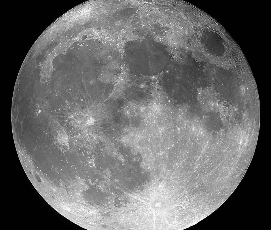
A s was the case in January, there are two full Moons in March, one on the 2nd and one on the 31st.
The second full Moon in a month has popularly become known as a Blue Moon even though this is not the original definition. That stated a Blue Moon was the third full Moon in a season which contained four full Moons.
The occurrence of two full Moons in January followed by two in March takes place approximately four times every century.
Feb 28, 2018
Moon to get its first mobile phone network next year, 50 years after the first man walked on earth’s natural satellite
Posted by Genevieve Klien in categories: mobile phones, space
Companies including Vodafone Germany, Nokia and Audi are working together to support the mission to install mobile network on moon.
Feb 26, 2018
Image: Hubble finds the calm after the galactic storm
Posted by Genevieve Klien in categories: life extension, space
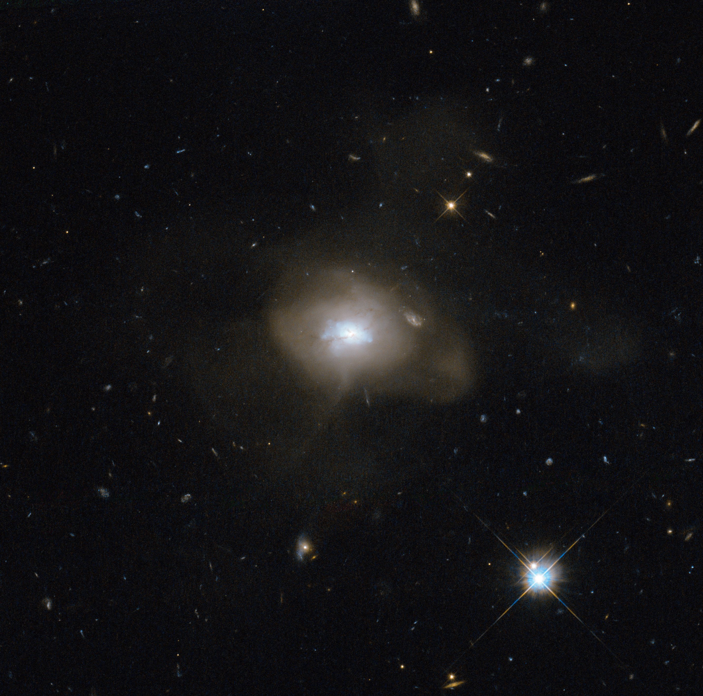
The NASA/ESA Hubble Space Telescope caught sight of a soft, diffuse-looking galaxy that is probably the aftermath of a long-ago galactic collision. Two spiral galaxies, each perhaps much like the Milky Way, swirled together for millions of years.
In such mergers, the original galaxies are often stretched and pulled apart as they wrap around a common center of gravity. After a few back-and-forths, this starry tempest settles down into a new, round object. The now subdued celestial body, cataloged as SDSS J162702.56+432833.9, is technically known as an elliptical galaxy.
When galaxies collide—a common event in the universe—a fresh burst of star formation typically takes place as gas clouds mash together. At this point, the galaxy has a blue hue, but the color does not mean it is cold: it is a result of the intense heat of newly formed blue–white stars. Those stars do not last long, and after a few billion years the reddish hues of aging, smaller stars dominate an elliptical galaxy’s spectrum. Hubble has helped astronomers learn of this sequence by observing galaxy mergers at all stages of the process.
Feb 25, 2018
Europa may have hidden liquid ocean to sustain life, new study reveals
Posted by Genevieve Klien in categories: nuclear energy, space, sustainability
Jupiter is a giant hot gaseous planet situated after the asteroid belt at a distance of 365 million miles when it is the closest w.r.t Earth and 601 million miles when it is the farthest. It was just a few years back when Jupiter’s moon Europa was reported as a potential planet that can hose life. Europa headlined on the internet in 2016 after scientists were able to see water vapor like plumes erupting from its crust. But, as a part of new research at the University of Sao Paulo, Brazil, Europa might have liquid water flowing beneath its 10-kilometer deep ice crust. The researchers used data extracted the data from an analogous location on Earth and found that life is sustainable in even the harsh environment that Europa offers as it has a huge liquid ocean under its crust.
Douglas Galante is the part of the research team that stretched towards the Mponeng Gold Mine in Johannesburg, South Africa in such as evidence. During the research, they found that bacterium Candidatus Desulforudis Audaxviator survives inside the mine at the depth of 2.8 km without any sunlight. It uses the method of water radiolysis where the water molecules are dissociated with the help of ionizing radiation. The analysis of the mine highlighted the cracks that run throughout the mine filled with cracks that supply water containing radioactive uranium which in turns, helps the bacterium to break down water molecules and consume the free radicals produced.
Once the free radicals are generated, these subatomic molecules attack rocks in the surrounding which produces sulfate. This is what these bacteria utilize to synthesize energy and store it without even interacting with the sunlight. One of a kind findings confirmed that it was the very first time when scientists were able to explore a living organism using nuclear energy to survive directly. Galante stated that this ecosystem is analogous to that of Europa’s ocean which has a great amount of thermal energy and absolute zero temperature.
Continue reading “Europa may have hidden liquid ocean to sustain life, new study reveals” »
Feb 23, 2018
Aerospace Company to Launch Private, Inflatable Space Stations
Posted by Genevieve Klien in category: space
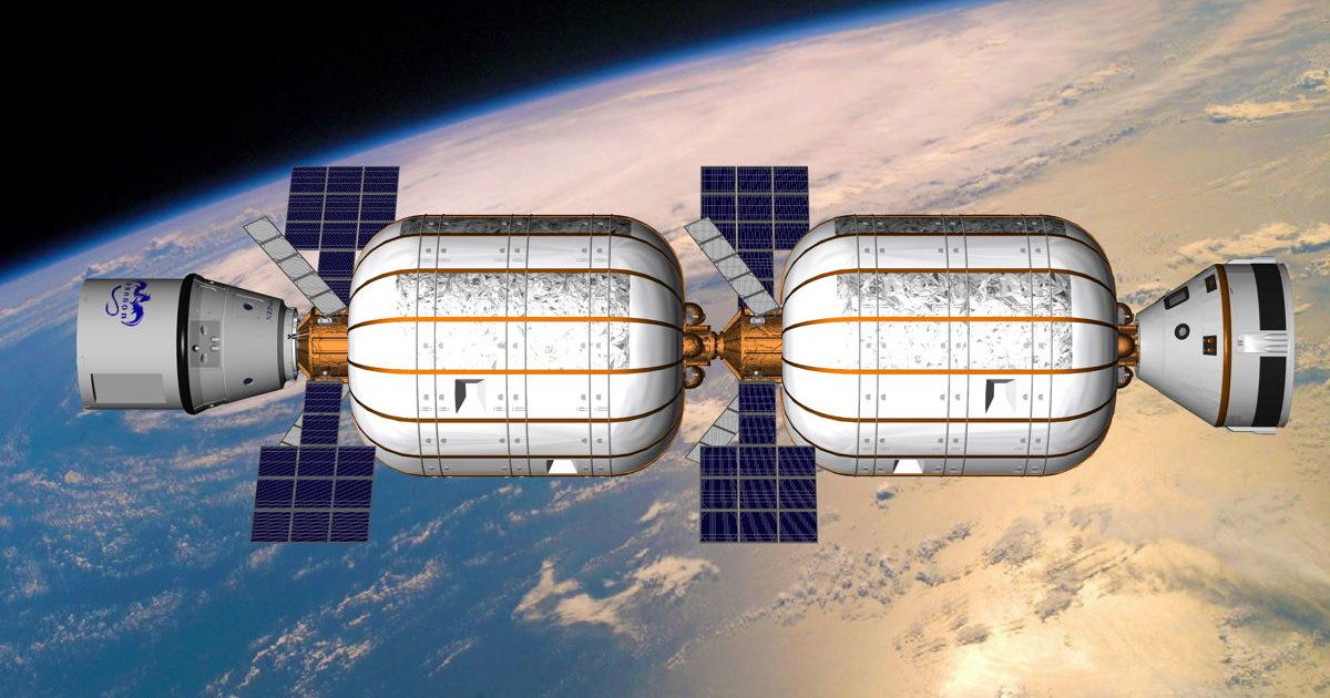
Bigelow Aerospace announced plans for sending soft-bodied modules that are compressed during launch but expand once they reach space.
Feb 22, 2018
Proposed Exomoon Defies Formation Theories
Posted by Genevieve Klien in category: space
The mysterious object could be the first moon found beyond our solar system—or something else entirely.
- By Nola Taylor Redd, SPACE.com on February 21, 2018


