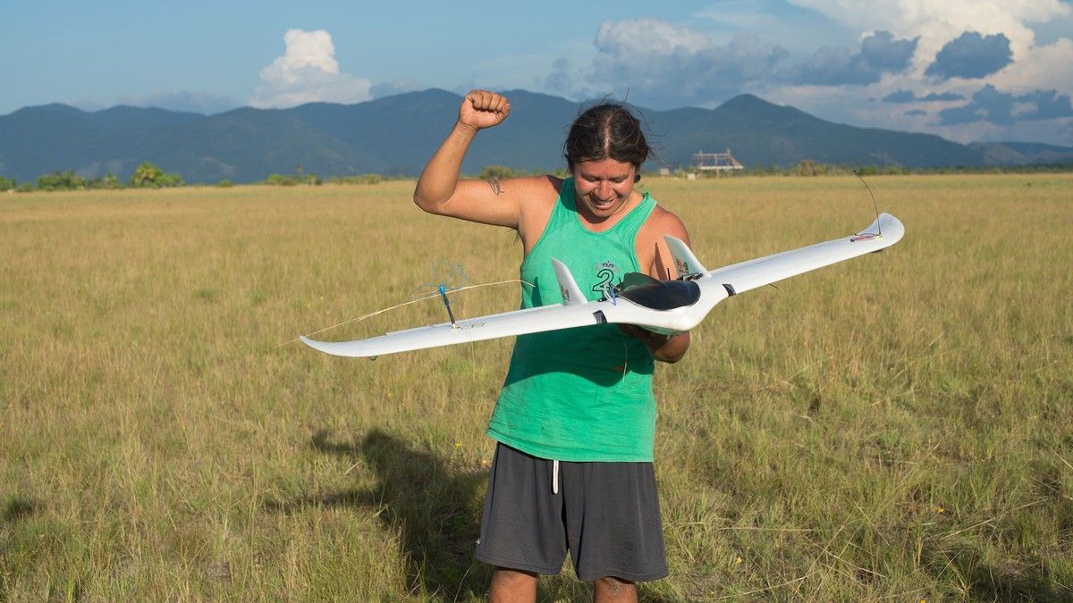
“The local Wapichana monitoring team learned how to build a fix-winged drone from scratch. The team then mounted a GoPro onto the drone, which shot around 500 images of the Shulinab village along a pre-programmed flight path. Using Pix4Dmapper automatic imaging software, the team were then able to recreate a 3D model of their village from the images. The aim, explained MacLennan in a blog post, is to ‘create high-resolution up-to-date imagery at a fraction of the cost of satellite imagery.’” Read more


Comments are closed.